![]() LAND PLANNING
LAND PLANNING
CARTOGRAFIE TEMATICHE, ANALISI SPAZIALI GIS – CAD, CONSULENZE GEOLOGICHE, IDROGEOLOGICHE, AMBIENTALI
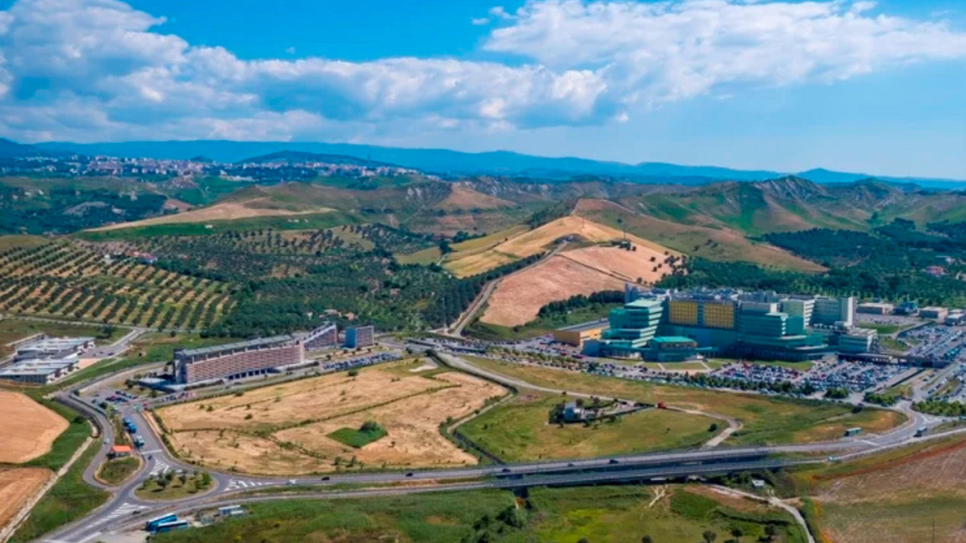
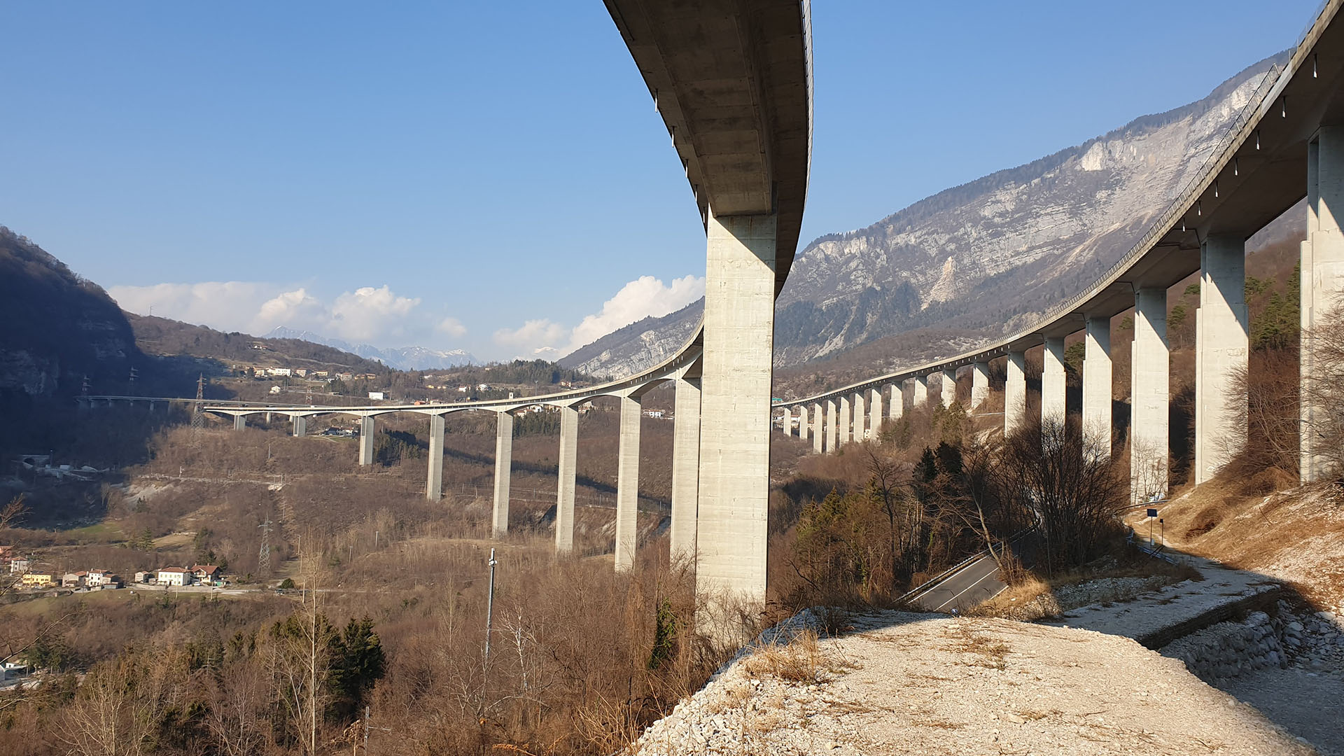
L’attività di pianificazione territoriale, sviluppo di cartografie tematiche, gestione di database e di analisi spaziale, costituisce per IGS srl un’importante settore di attività. Tali attività sono sviluppate mediante software GIS e CAD utilizzando algoritmi, overlay topologici ed estensioni ad alto grado di innovatività.


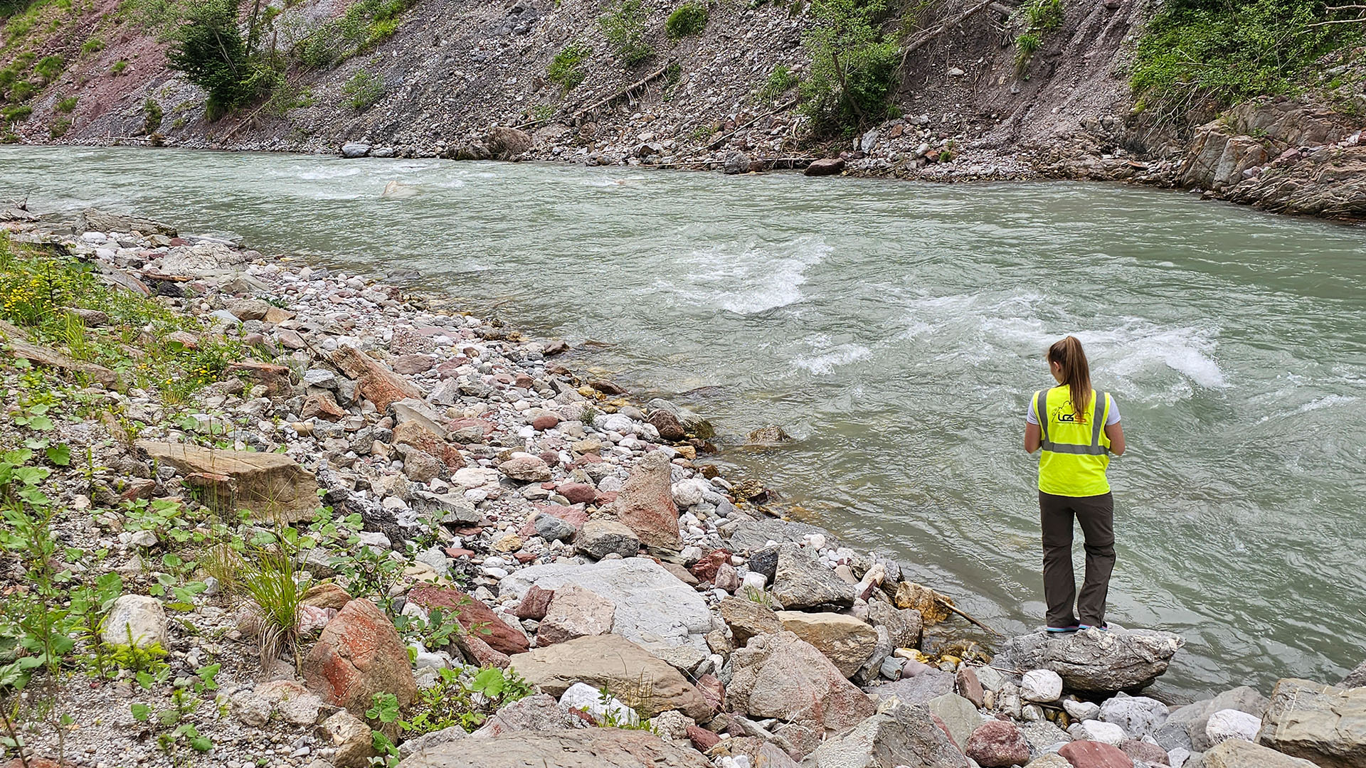
Rientrano in questo dipartimento le attività di consulenza specialistica (geologica, idrogeologica, ambientale, ecc.) e di redazione di perizie ed autorizzazioni.
Occupandosi delle attività autorizzative, pianificatorie e cartografiche, il dipartimento “Land Planning” rappresenta un anello fondamentale della catena che lega i 4 dipertimenti.